Araku Valley Travel Guide: Map, Altitude & Railway Station

Araku Valley Travel Guide: Map, Altitude & Railway Station
Planning a trip to the Eastern Ghats? This Araku Valley Travel Guide covers everything you need—from Araku map details and altitude facts to railway station codes and the best ways to reach this hill station from Vizag. Whether you’re booking your first visit or returning for another, this is your definitive resource for Araku Valley information.
About Araku Valley: The Ooty of Andhra
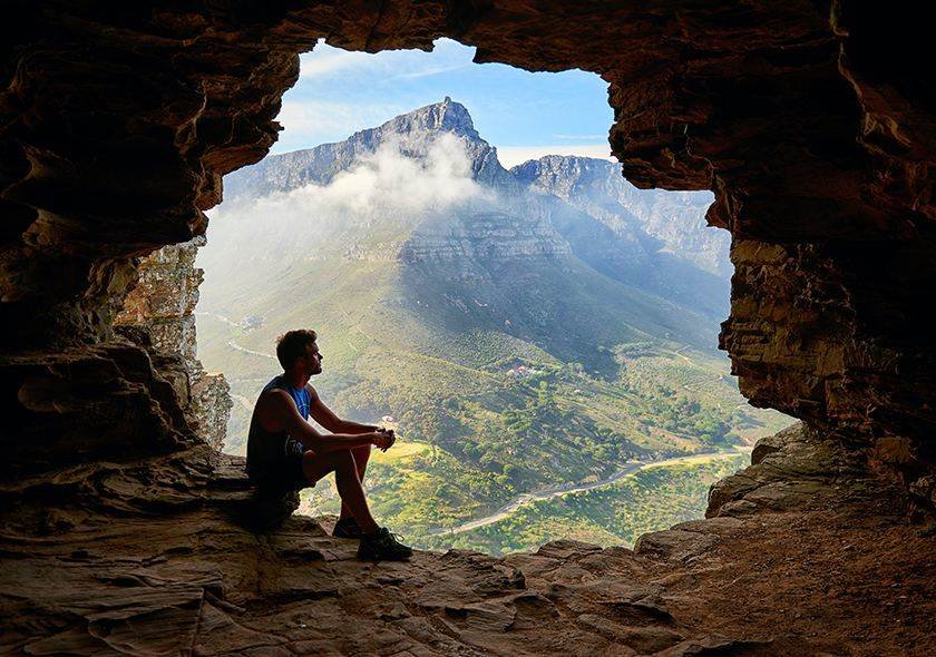
Araku Valley sits nestled in the Eastern Ghats of Andhra Pradesh, earning its reputation as the “Ooty of Andhra” through decades of quiet distinction. Unlike crowded Western Ghat hill stations, Araku offers something rare: space to breathe, genuine cool air, and landscapes that haven’t been over-commercialised.
The valley is home to India’s finest coffee plantations, where Arabica beans grow at elevations that give them their distinctive flavour. Beyond coffee, the region holds remarkable biodiversity—dense forests, waterfalls, and tribal communities whose cultures have shaped this land for centuries.
For visitors escaping the humid coastal belt of Visakhapatnam, Araku provides immediate relief. The sticky heat gives way to crisp mountain air within hours, which is precisely why Araku has become the natural weekend escape for families and travellers from across the coast. Most visitors pair Araku with a broader Vizag trip, spending two to three days exploring before returning—the journey itself, through ghat roads and past Borra Caves, is part of the experience.
Geography & Location Facts
Understanding where Araku Valley sits—administratively and geographically—helps in planning a trip that accounts for weather, connectivity, and local context.
District and Administrative Details
Araku Valley was historically part of Visakhapatnam District. However, in 2022, the Andhra Pradesh government carved out a new administrative unit: Alluri Sitharama Raju District, named after the legendary freedom fighter who led tribal uprisings in these hills. Araku now falls within this newly formed Araku Valley district.
This distinction matters because local governance and tourism infrastructure now operate under this new district framework. When searching for official permits or local contacts, referencing Alluri Sitharama Raju District will yield more accurate results.
Elevation and Climate
The Araku altitude stands at approximately 910 meters (2,990 feet) above sea level. This Araku height from sea level is the primary reason for the valley’s pleasant climate—temperatures rarely exceed 30°C even in summer, and winter nights can drop to single digits.
Morning fog rolls through the valley during cooler months, clearing by mid-morning to reveal blue skies and forested ridges. This climate supports the coffee plantations synonymous with Araku, as Arabica coffee requires these specific altitude and temperature conditions.
Tribal Villages and Communities
The valley comprises several Araku villages inhabited by tribal communities—the Bagata, Chenchu, Kondadora, and others—whose presence here predates recorded history. The weekly markets, where tribal farmers sell produce and forest goods, offer a glimpse into this traditional economy.
Araku Valley Travel Guide Map & Route
The journey to Araku is as significant as the destination. The route from Vizag climbs steadily through the Eastern Ghats, offering views that improve with every hairpin turn.
The Road Route
The primary route from Visakhapatnam follows NH516E, passing through several notable stops:
Tyda marks the entry point into the ghat section. Jungle Bells Nature Camp offers an early opportunity to experience the forest.
Borra Caves lies roughly midway—one of India’s largest limestone cave systems with stalactites and stalagmites shaped over millions of years.
Ananthagiri represents the final stretch, known for coffee plantations and tribal hamlets with occasional viewpoints revealing the valley below.
Key Distances
- Vizag to Araku: 115 km (approximately 3.5 to 4 hours by road)
- Hyderabad to Araku: 600+ km (best broken into an overnight stop)
- Borra Caves to Araku: 30 km (45 minutes to 1 hour)
Google Map showing the Vizag-Tyda-Borra Caves-Ananthagiri-Araku route
Araku Valley: https://bit.ly/47xS0yM
Borra Caves: https://bit.ly/4sMBzXE
Ananthagiri: https://bit.ly/4uxx9Wb
The Araku Valley map reveals why this journey takes longer than distance suggests—ghat roads involve continuous turns, elevation changes, and speed restrictions. The landscapes along this route are what separate an Araku trip from an ordinary hill station visit.
Railway Information: Stations & Codes
For travellers who prefer rail over road, Araku offers one of South India’s most scenic train journeys.
Station Details
| Station Name | Station Code | Railway Zone | Distance from Vizag |
| Araku | ARK | East Coast Railway | 115 km |
| Visakhapatnam | VSKP | East Coast Railway | — |
The nearest railway station to Araku Valley is the Araku Railway Station (ARK) itself, located within the town. For travellers arriving from other parts of India, Visakhapatnam (VSKP) functions as the major railway hub for connecting flights and long-distance trains.
The Vistadome Experience
The Kirandul Passenger train includes Vistadome coaches—glass-roofed carriages offering panoramic views through 58 tunnels and numerous bridges. The 5-hour journey from Vizag departs early morning and reaches Araku by late morning. Tickets sell out weeks in advance, particularly during holidays.
Last Mile Connectivity
The Araku railway station to Araku Valley distance—specifically, to the main resort area and market—is approximately 2 to 3 km. Auto-rickshaws wait outside the station.
For visitors preferring confirmed pricing, arakutrip.in offers Station Pick-up Cabs with local drivers who know the area.
How to Reach Araku Valley from Vizag
Three primary options exist for travelling from Visakhapatnam to Araku Valley.
Option 1: By Train (Scenic but Limited)
The Kirandul Passenger departs Vizag early morning (around 6:00 AM) and reaches Araku by 11:00 AM. The return train leaves in the afternoon.
Advantages: Unmatched scenery, the Vistadome experience, no driving fatigue. Limitations: Only one daily train. Fixed schedule limits flexibility for stops at Borra Caves.
Option 2: By Road (Flexible and Fast)
The road journey via NH516E takes 3.5 to 4 hours, passing through ghat sections with opportunities to stop at Jungle Bells Tyda, Borra Caves, and coffee estates.
Advantages: Complete flexibility to stop and explore. No ticket concerns. Limitations: Driving ghat roads demands focus, making it difficult for the driver to enjoy scenery.
Why Choose a Private Cab? A hired vehicle with a local driver offers flexibility with freedom to actually experience the scenery. Stop for coffee whenever you want, spend extra time at Borra Caves, arrive relaxed.
→Book a Vizag to Araku Cab Package through arakutrip.in
Option 3: By Bus (Budget-Friendly)
APSRTC operates regular services between Vizag and Araku, taking 4 to 5 hours.
Advantages: Lowest cost. Tickets available at the counter. Limitations: Longer travel time. Less comfortable for ghat sections.
Book Your Araku Trip
You’ve got the Araku Valley information. You understand the routes, the distances, the station codes, and what to expect. The next step is straightforward.
arakutrip.in provides cab services, accommodation bookings, and local packages designed by people who grew up in this valley. We know the roads. We know the drivers. We know which resorts deliver on their promises and which don’t.
Safe. Reliable. Local.
FAQ’s:
What is the Araku Valley station code?
The Araku Valley station code is ARK. The station falls under the East Coast Railway zone.
Which district is Araku Valley in?
Araku Valley is now part of the newly formed Alluri Sitharama Raju District (often referred to as Araku district) in Andhra Pradesh, carved out from Visakhapatnam in 2022.
What is the Araku height from sea level?
Araku Valley is situated at approximately 910 meters (2,990 feet) above sea level, ensuring pleasant weather throughout the year.
What is the nearest railway station to Araku Valley?
The nearest railway station to Araku Valley is Araku (ARK) itself. For major connectivity, Visakhapatnam (VSKP) is 115 km away.
How to reach Araku Valley from Vizag?
You can reach Araku Valley from Vizag by train (Kirandul Passenger with Vistadome coaches), by road via NH516E (3.5-4 hours), or by APSRTC bus.
What is the Araku railway station to Araku Valley distance?
The Araku railway station is within the town. The distance to the main market and gardens is approximately 2 to 3 km. Auto-rickshaws and cabs are available.
Can I see an Araku Valley map online?
Yes, view a detailed Araku Valley map on Google Maps, or download a curated tourist route map from arakutrip.in.
This guide is maintained by arakutrip.in—a team of locals who grew up in Araku Valley and now help visitors experience it properly.
Recent Posts

Araku Valley Accommodation: Hotels vs. Government Guest Houses

Top 10 Best Resorts in Araku Valley for Every Budget
Galikonda View Point: Catching the Clouds at 4320 Feet
Tags